By Siddaganga Real Estate9 min read
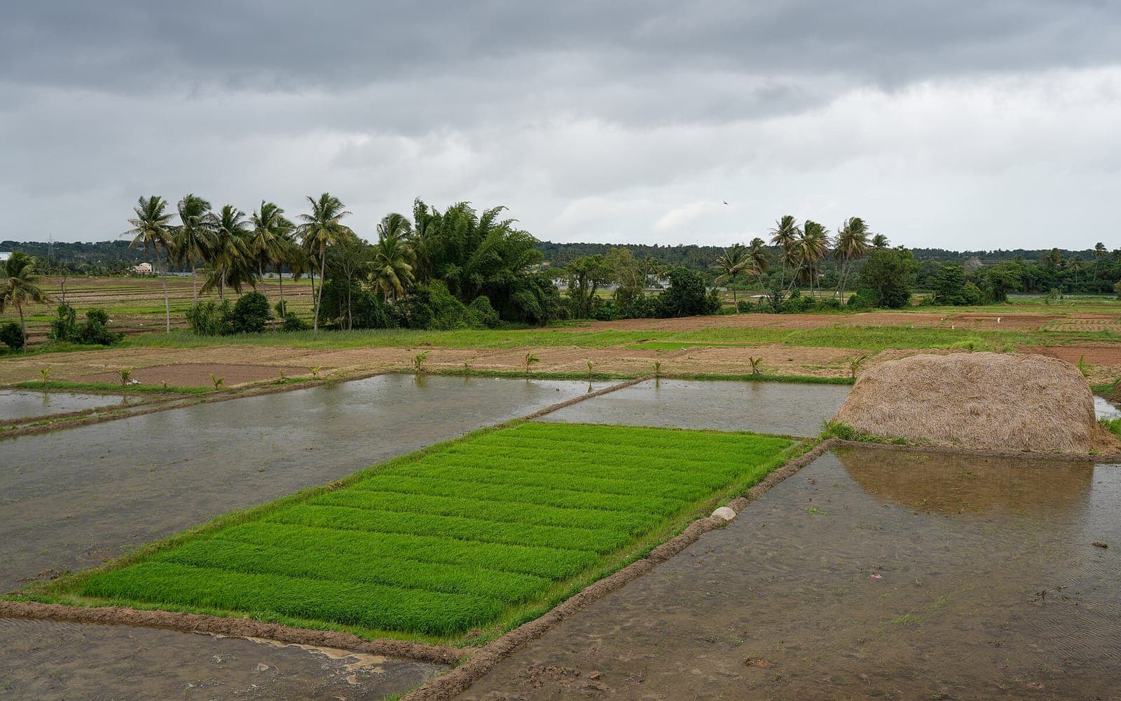
Most residential sites around Mysuru were farmland not so long ago. Somewhere in their history, a piece of agricultural land was converted to residential use, divided into roads and sites, and approved as a layout. If any step in that story was skipped or done improperly, the problem does not disappear when the land is sold on — it travels with every site in the layout, including yours. This guide explains how to trace a site's land history: the RTC or Pahani on the Bhoomi portal, survey numbers, mutation records, and the conversion order that permits residential use. Conversion procedures in Karnataka have been simplified in recent years, so treat this as general information and confirm the current position with a property lawyer.
Why a site's land history matters
A residential site is a legal creation as much as a physical one. For a plot of former farmland to become a lawful house site, several things normally have to happen, in order:
- The land is owned by the person developing it, with a clean record of how they acquired it.
- The land is converted from agricultural to non-agricultural (residential) use by the competent authority.
- A layout plan dividing the land into roads, sites and civic areas is approved by the planning authority — in its area, the Mysuru Urban Development Authority (MUDA).
- Sites are then sold, each by a registered sale deed, and recorded by the local body.
Each step leaves documents behind. Checking a site's history means following those documents back from the seller's deed to the land records, and making sure the chain is complete and consistent.
This guide focuses on the first two steps — the land records and the conversion. What layout approval means, and how to verify it, is covered in our guide to MUDA-approved plots in Mysuru, and the different kinds of layouts you will come across are explained in our guide to MUDA, DTCP and panchayat layouts.
The reason to care is simple. If the land was never lawfully converted, or the developer never had clean ownership, the problem sits at the root of the title of every site carved out of it.
The RTC (Pahani) and the Bhoomi portal
The RTC — Record of Rights, Tenancy and Crops, commonly called the Pahani — is the basic record for agricultural land in Karnataka. It is maintained by the revenue department and, at the time of writing (2026), can be viewed on the state's Bhoomi portal.
For a given survey number, the RTC typically shows, among other things:
- The name of the owner, or owners, of the land.
- The extent of the land.
- The type of land and how it is used, including the crops grown.
- Details of any tenancy.
- Certain liabilities, such as loans recorded against the land.
For a site buyer, the RTC answers questions like these. Who owned this land before it became a layout? Is it still shown as ordinary agricultural land? Is anyone else shown as having a right in it? The revenue records are expected to reflect a conversion, so an RTC that still shows ordinary cultivation for land being sold as residential sites is a question to raise with your lawyer.
It is worth looking at older RTCs as well as the current one. Older RTCs show how ownership changed over the years, and a sudden, unexplained change of name is exactly what a careful check is meant to catch.
Survey numbers and mutation records
Agricultural land in Karnataka is identified by its survey number, often with a further sub-division number (commonly called a hissa number) where the original survey number has been divided. A layout is usually formed on one or more survey numbers, and your site should lie within them.
Two checks follow from this:
- The numbers must agree everywhere. The survey numbers in your seller's deed, the conversion order, the approved layout plan and the RTC should be the same, and the site should fall within the land they describe.
- The extent must add up. The area converted and approved should match the area the developer owned. If the layout seems to cover more land than the records show was owned or converted, ask why.
Mutation records show how the ownership entry in the land records changed over time — through sale, inheritance, partition, gift or a court order. Each entry refers to the reason for the change, and reading them in sequence tells you how the land reached the developer. Gaps, entries that do not match registered deeds, or mutations based on disputed claims all deserve a lawyer's attention.
The survey sketch of the land, showing its boundaries and sub-divisions, is also useful. Comparing it with the layout plan and with what you see on the ground helps confirm that the site you are buying is where the paperwork says it is.
The conversion order
Agricultural land must be converted to non-agricultural use before it can lawfully be used for a residential layout. In Karnataka this is commonly called DC conversion, because the permission has traditionally been granted by the Deputy Commissioner of the district under the Karnataka Land Revenue Act.
The conversion order is the document that records this permission. When you examine it, check:
- The survey number and extent. They should match the land on which the layout sits, and cover the whole area used for sites.
- The purpose. If you are buying a residential site, the permitted use should be residential.
- The owner. The order should be in the name of whoever owned the land at the time, consistent with the RTC and mutation records.
- The conditions. Conversion orders can carry conditions, and your lawyer can check whether any affect the land's use.
- Genuineness. A photocopy can be forged. Your lawyer can verify the order against official records at the relevant revenue office.
Karnataka has simplified conversion procedures in recent years, and the rules may have changed again by the time you read this. Confirm the current rules — and what documents the conversion of your particular land should have produced — with a property lawyer or the Deputy Commissioner's office.
Conversion is necessary but not sufficient. Converted land still needs an approved layout plan before it becomes lawful residential sites.
Why a layout on unconverted land is risky
Sites carved out of agricultural land that was never converted — often called revenue sites — are sometimes offered at prices well below approved sites nearby. The discount reflects real risks:
- Building approval. A building plan generally cannot be sanctioned for a house on land that is not lawfully in residential use.
- Khata and civic records. A proper khata may be difficult or impossible to get, which affects property tax, utility connections and any future sale.
- Loans. Lenders are generally reluctant to lend against such sites, for purchase or for construction.
- Services. Roads, drainage and water may be missing or informal, with no authority responsible for providing them.
- Enforcement. Unauthorised layouts can face action by the authorities, and any later regularisation, if available at all, may bring costs and conditions nobody can predict today.
- Resale. The next buyer, and their bank, will ask the same questions, which makes such sites hard to sell.
If you are considering land that is still agricultural — as farmland, not a house site — that is a different purchase with different rules, covered in our guide to buying agricultural land near Mysuru. Note that NRIs and OCIs cannot buy agricultural land, plantation property or farmhouses in India under FEMA rules.
The simplest rule: if the seller cannot show a conversion order and an approved layout for the land your site sits on, do not treat a low price as a bargain.
What to ask the seller for
Before you pay an advance on a site in a layout that was once farmland, ask for copies of the following and have a property lawyer examine them:
- The seller's own title deed, and the earlier deeds back to the developer.
- The conversion order for the survey numbers on which the layout sits.
- Current and older RTCs for those survey numbers, and the mutation records showing how ownership changed.
- The survey sketch of the land.
- The approved layout plan, with your site marked on it, and the approval documents.
- An Encumbrance Certificate for a long period — see our guide to the Encumbrance Certificate.
- The khata or e-Khata and tax receipts for the site itself.
Then do a few checks yourself. Visit the site and compare it with the layout plan: are the roads and site numbers where the plan says they are? Check the survey numbers on the conversion order against those in the deed. And be wary of any seller who offers only photocopies, or says conversion or approval is "in process" and you should pay now.
A genuine seller of a properly converted and approved site will have these documents and will not mind you checking them. If you would rather start from sites where the approvals are already in place, Siddaganga Real Estate has spent over twelve years helping Mysuru buyers with document verification, and you can browse the approved plots we currently offer. Your own lawyer should still review the papers before you pay.
Frequently asked questions
- What is DC conversion in Karnataka?
- DC conversion is the permission to use agricultural land for non-agricultural purposes, such as a residential layout. It is commonly called DC conversion because it has traditionally been granted by the district's Deputy Commissioner under the Karnataka Land Revenue Act. Conversion procedures have been simplified in recent years, so the current process and the documents it produces may differ from older cases. Confirm the present rules with a property lawyer or the Deputy Commissioner's office.
- How do I check the RTC or Pahani for a survey number?
- At the time of writing, you can view RTC details on Karnataka's Bhoomi portal by entering location details such as the district, taluk, village and survey number. The RTC shows the owner, the extent, the type of land and certain liabilities recorded against it. An online view is a useful first check, but for a purchase your lawyer may want certified copies and older RTCs to trace how ownership changed.
- Is DC conversion enough to make a site legal?
- No. Conversion permits the land to be used for non-agricultural purposes, but a residential layout also needs its layout plan approved by the planning authority — in its area, MUDA. A careful buyer checks the conversion order, the layout approval and the title together, because a gap at any stage can affect every site in the layout.
- Can I get a home loan for a site on unconverted land?
- It is usually difficult. Lenders generally prefer properties with a clear title, lawful residential use and an approved layout, because the site is their security, and sites on unconverted land often fall short on all three. Even if a purchase loan were available, building approval and a proper khata may not be. Ask your lender about their policy for the specific site, and have your lawyer check the land records first.
- What does it mean if the RTC still shows the land as agricultural?
- It means you should ask questions before paying. If a layout is being sold as residential sites but the land records still show ordinary agricultural use, the conversion may not have been done, may not yet be reflected in the records, or the survey number may be wrong. Ask the seller for the conversion order and have your lawyer check it against official records before going further.
This guide is general information, not legal, tax or financial advice. Rules, rates and procedures change — confirm the current position with a property lawyer, chartered accountant or the relevant authority before you act.